 2010)")
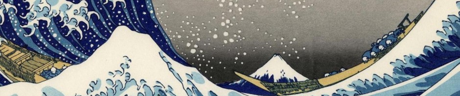
Wayfinding Signs on Camino de Santiago
I realized the importance of wayfinding in the descriptions of these routes as there are not only differences in the physical nature of the paths, but also in the type and extent of signage used to keep pilgrims on the correct path. Typically, (yellow) arrow symbols are used to point to a diverging path, but to what degree are they maintained where vandalism or highway construction has disrupted a path and its signage? Waymarking is also used in this context to describe the specific symbols that identify the route. The Camino is waymarked with a scallop shell symbol to represent St. James. Waymarking also generally describes more modern location references, such as marking points on a route by GPS (which can be used with portable GPS devices to locate points of interest while hiking).
More recent technology innovations include “augmented reality” apps that use a smartphone’s built-in camera to capture images of your surroundings and overlay relevant digital information on the screen. The GPS “geolocates” your current geographic location and field of view and the compass indicates the direction in which you are facing. Based on this data, the application retrieves relevant information from the Internet and overlays it on the smartphone’s display of your current camera view, such as contact information for nearby accommodations, suggested sites of interest, etc.
This convergence of technology in the context of wayfinding an ancient pilgrim path initially seemed incongruous to me, but it made me think about wayfinding as it is used in more modern contexts, such as architecture, urban planning, and navigational systems on software applications and Web sites.
Although we can design “advance organizers” like sitemaps with links to each area on the site or design for “breadcrumb” trails that show users where they have already navigated and provide a linking structure to return, reliable navigation occurs with use and depends on what users can represent mentally (as mental models) of the structure of the Web site or software application.
As our view and experience of the physical world becomes more “augmented” (e.g., GPS, geolocation, Google’s StreetView, etc.), I wonder how our means of wayfinding our information systems will change?
Will our means of “navigation” become so convergent in some cases that our sense of physical and virtual “location” will become (almost) functionally inseparable?
Our world is shrinking conceptually, yet our ability to find our way through the software interface often remains a challenge – and keeps user interface designers and user experience professionals busy.
Has the Camino experience in this context reminded us that it is more than a physical path on which your feet pray, but also a metaphor for finding your way?
Your comments on wayfinding – of all kinds – are welcome in reply.
Buen Camino!
Doc
Excerpt from a Camino documentary by Mark Shea:
Slightly different way-finding systems than we design, however I really enjoyed your blog. Thanks Doc for posting that information.
Thanks Joyce for your comment in reply, especially in implicitly noting that wayfinding addresses many needs with many applications: from ancient trail marks to geolocational computing.
Hello from Nova Scotia
Doing my Due Diligence creating an Epic Walk of Coastal/Rural Nova Scotia similar to The Camino but not wilderness trekking like the Pacific Coast or Appalachian Trails etc and hoping to incorporate some Augemented Reality info….. for collective learning, way finding and historic trail info. plus Points Of Interest… although that will be the ‘low hanging fruit’. The raison d’etre is to save Rural Nova Scotia but I wont go into the details and distract you from my question.
I’m not IT savvy so I’m wondering what the future holds for this type of ‘touring’ via smart phone etc…. any Apps I should investigate for our Not for Profit venture?
ps
some think our province here in Canada is Lobster shaped hence the name.
Cheers
Kevin
Gaffa for WTL
Land & See & Savour
Hi Kevin,
Walking in pilgrimage is a higher calling as is saving the beauty of creation as it seems you are doing in your epic walks.
My suggestion is the Maps With Me app as it lets you download maps to your mobile device prior to your walk so that you can use them without needing a connection via cellular data or WIFI. I did that for my last pilgrimage walk on the Camino Portugues and it came in handy for topology and road and trail intersections.
Buen Camino!
Doc